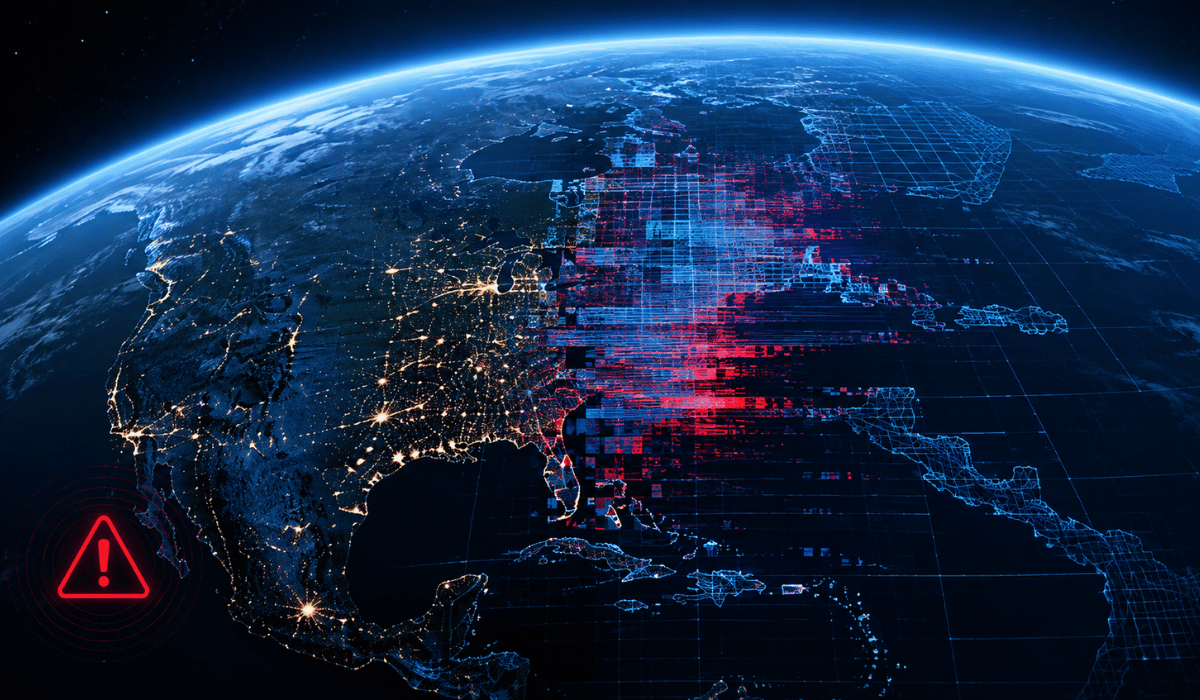
Google’s newest AI experiment lasted less than 24 hours before it was pulled offline. Here is exactly what happened, why the Google Earth AI tool was removed so fast, and what it means for the future of AI-generated satellite images.
What Was the Google Earth AI Image Tool?
On July 30, 2026, Google rolled out a new AI image generation feature inside the web version of Google Earth. Powered by Google’s Nano Banana 2 model (officially known as Gemini 3.1 Flash Image), the tool let users zoom into any location on Google Earth, click “create image,” and generate a scene using nothing more than a text prompt.
Unlike a typical AI image generator that creates a standalone picture, this tool bound AI-generated visuals directly to real map coordinates. That meant users could overlay a fabricated scene onto an actual satellite view of a real place, turning Google Earth into a platform where any location could be altered to show something that never happened.
Why Did Google Remove the AI Tool From Google Earth?
Within hours of launch, journalists and open-source intelligence (OSINT) researchers began testing the tool’s limits, and the results were alarming. People used it to generate a fake blast crater in Los Angeles, a flooded U.S. Capitol building, and a burning oil facility on Iran’s Kharg Island, all rendered convincingly onto real satellite imagery.
The backlash moved fast. Critics pointed out that Google Earth carries a unique kind of public trust as a tool people already use to verify real-world events, from natural disasters to conflict zones. Allowing anyone to generate convincing fake satellite imagery on that same platform threatened to undermine that trust entirely, both for the fake images themselves and for legitimate satellite evidence that could now be dismissed as AI-generated.
By July 31, 2026, just one day after launch, Google pulled the feature. In a statement, the company said people “uniquely trust Google Earth for a reliable view of the world,” and that while geospatial professionals had found legitimate uses for the tool, others were sharing generated images that appeared to violate its policies. Google said it was rolling back the feature while it built stronger guardrails.
Did Google Earth’s AI Tool Have Any Safeguards?
Yes, though they clearly weren’t enough to prevent misuse. Every image generated by the tool carried Google’s SynthID watermark, an invisible digital marker designed to flag content as AI-generated when viewed through compatible tools like Gemini. Google had also said the tool blocked image generation on certain harmful topics.
In practice, those safeguards didn’t stop people from generating convincing fake disasters, conflicts, and infrastructure damage tied to real locations. A watermark that isn’t visible to the average viewer and isn’t checked by default does little to stop a misleading screenshot from spreading on social media before anyone verifies it.
Is Google Earth’s AI Feature Coming Back?
Google hasn’t announced a relaunch timeline. The company says it’s working on stronger guardrails before reintroducing the feature but has not detailed what those guardrails will look like or when the tool might return. It’s worth noting that the AI image feature was only ever available on the web version of Google Earth, not in the mobile apps, and even that narrower rollout was enough to trigger the backlash.
Why This Controversy Matters Beyond Google Earth
This episode highlights a growing problem with combining generative AI and authoritative data sources. Google Earth isn’t just another app people use casually. It’s a reference tool relied on by journalists, researchers, and everyday users to understand real-world events as they unfold. When a platform like that adds a feature capable of producing convincing fake imagery, even briefly, it creates lasting doubt about everything else on the platform, including genuine satellite evidence.
Experts have warned this cuts both ways. Not only can fake images be mistaken for real ones, but real satellite evidence can now be dismissed as AI-generated, deepening what researchers call a “verification crisis.” As AI image and video tools become harder to distinguish from reality, platforms that carry public trust face a much higher bar before shipping features like this one.
Key Takeaways
- Google launched an AI image generation tool inside Google Earth’s web version on July 30, 2026, built on its Nano Banana 2 model.
- The tool let users generate AI images and overlay them directly onto real satellite map coordinates.
- Researchers showed in less than a day that the program could produce realistic-looking imagery of conflicts and natural disasters.
- Google pulled the feature on July 31, 2026, citing policy violations and pledging stronger guardrails before any relaunch.
- The controversy has renewed concerns about AI-generated misinformation and the erosion of trust in satellite imagery as a verification tool.
Frequently Asked Questions
When was the Google Earth AI tool launched and removed?
It launched on July 30, 2026, and was removed on July 31, 2026, roughly 24 hours later.
What AI model powered the Google Earth AI tool?
The feature was built on Google’s Nano Banana 2 model, also known as Gemini 3.1 Flash Image.
Can I still use AI features in Google Earth?
The image generation feature has been rolled back. Google has not announced when or if it will return.
How can I tell if a satellite image has been AI-generated?
Google’s AI-generated images carry a SynthID watermark, though it isn’t visible to the naked eye and requires a compatible tool to detect, which is part of why the controversy spread so quickly before verification caught up.